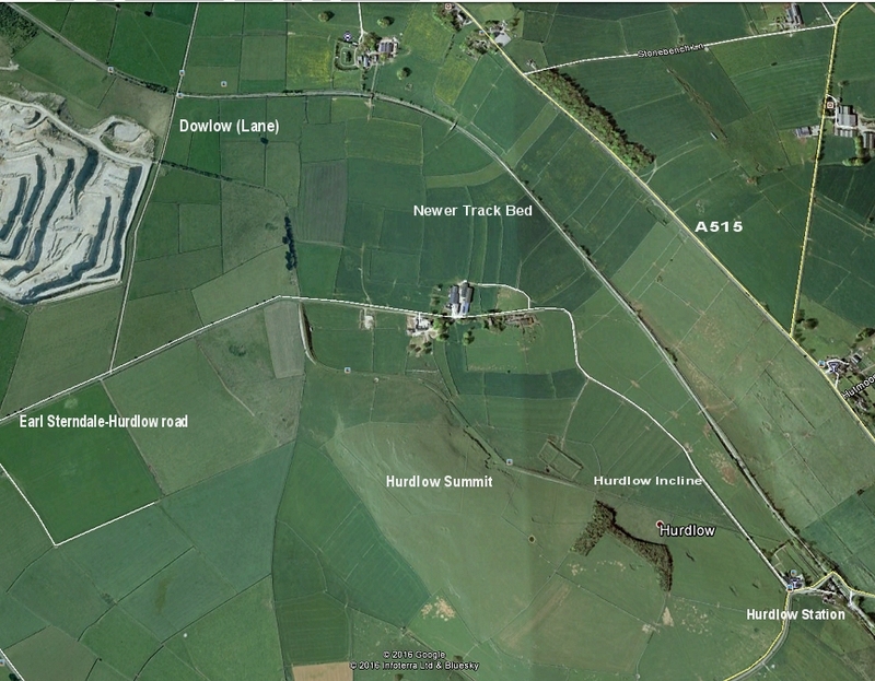
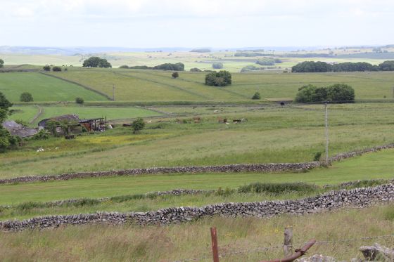
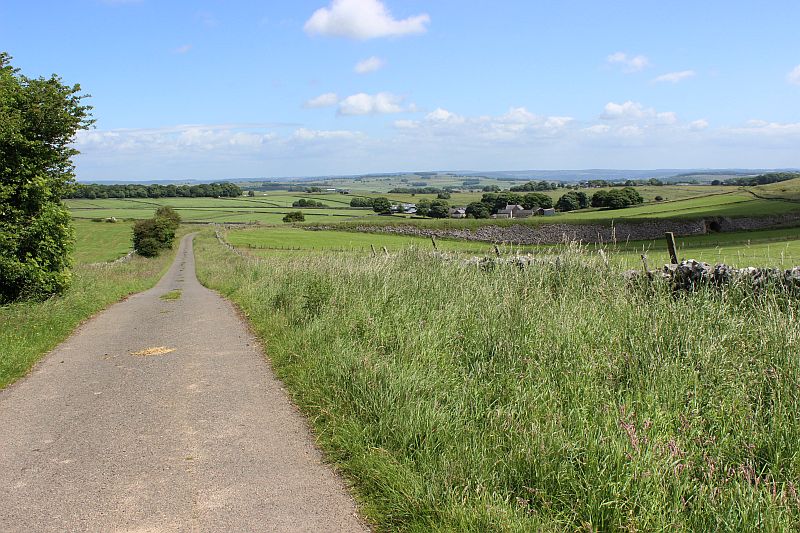
Hurdlow station to Dowlow (Via Incline) Google Map.
HIGH PEAK TRAIL WALKS
HURDLOW INCLINE TO DOWLOW
(From walks over both routes on the 27th June and the 5th of July 2016.
On the 27th of June I made a visit to Hurdlow Incline, from Dowlow. I was unable to get to the actual summit but up to the start of the plain where the Engine house stood. Sadly the actual site of the Engine House
is fenced off. However, it gave me a good idea of what this length of the railway was like. The following section uses photos from both visits. First from Hudlow to the south side of the summit then photos from my
earlier visit to the north side of the summit. As I had walked down from Dowlow my photos here are in reverse order so that you can follow the incline from Hurdlow to Dowlow to Hurdlow Summit. Once we reach
the end of the track bed at Dowlow we return to Hurdlow station ste the walk to the end of the 'newer' track bed up to Dowlow, to conclude my walk rom Parsley Hay to Dowlow on the 5th July.
Hurdlow station to Dowlow (Via Incline) Google Map.
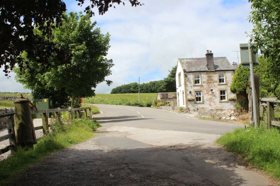
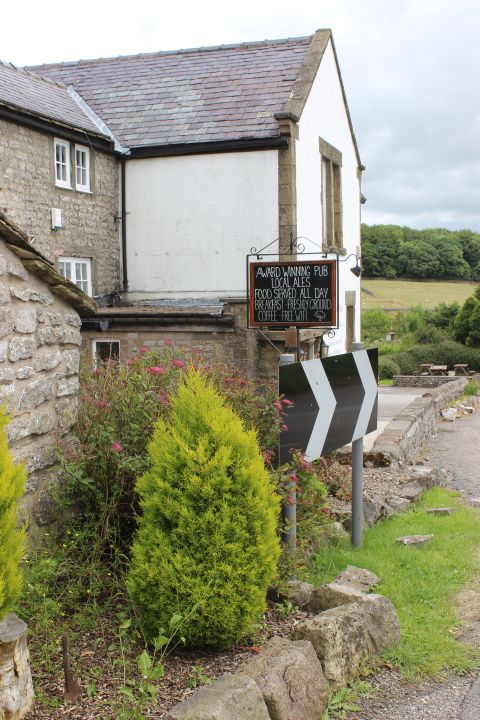
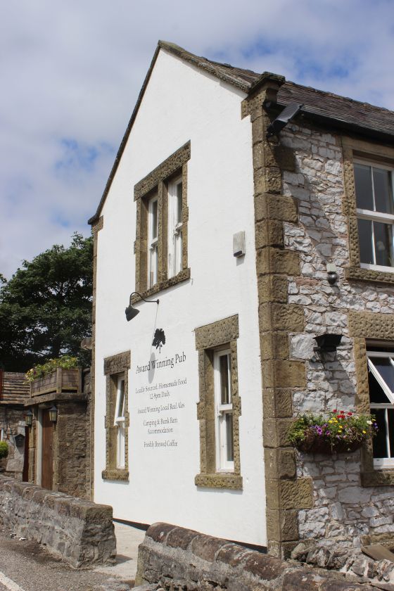
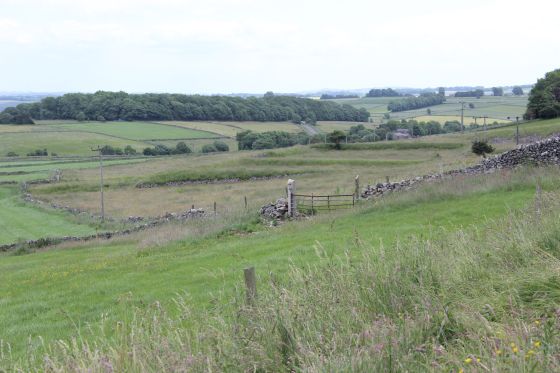
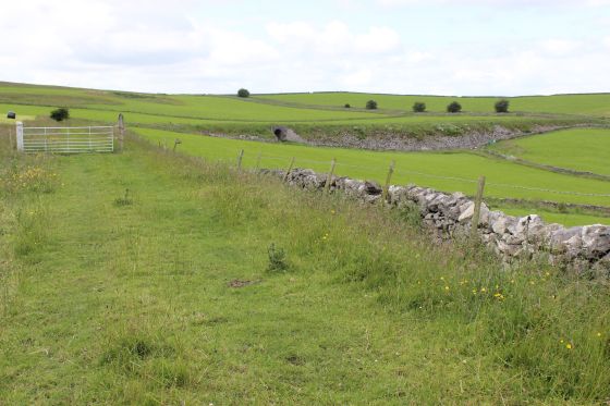
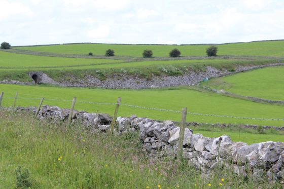
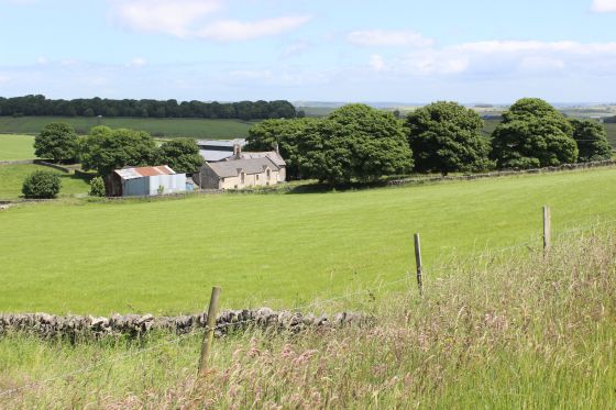
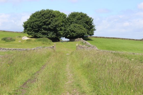
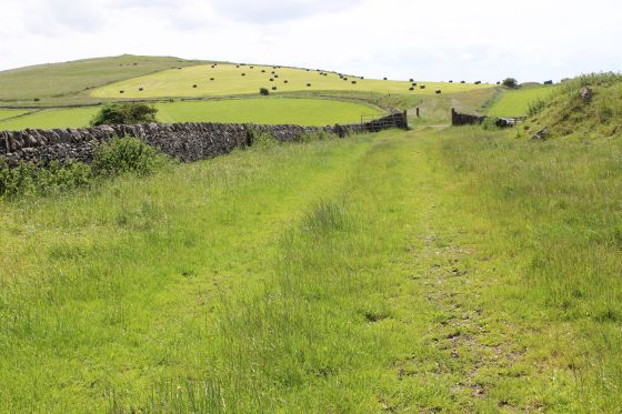
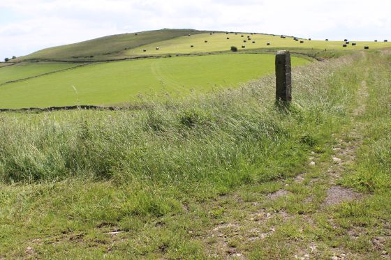
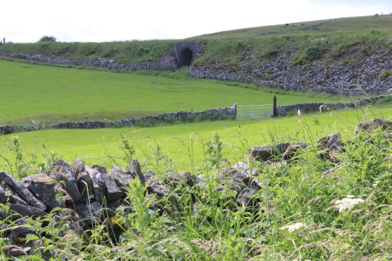
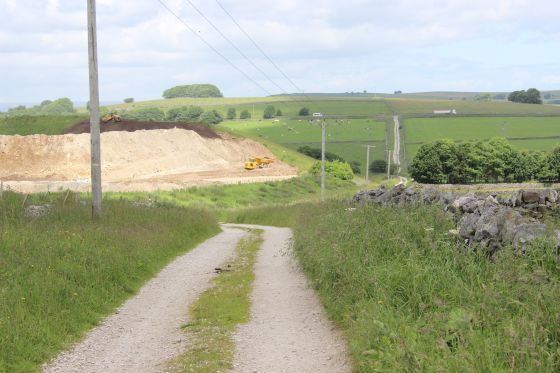
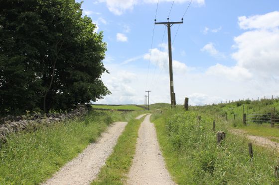
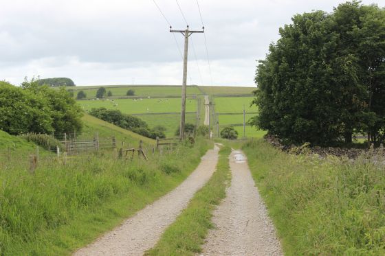
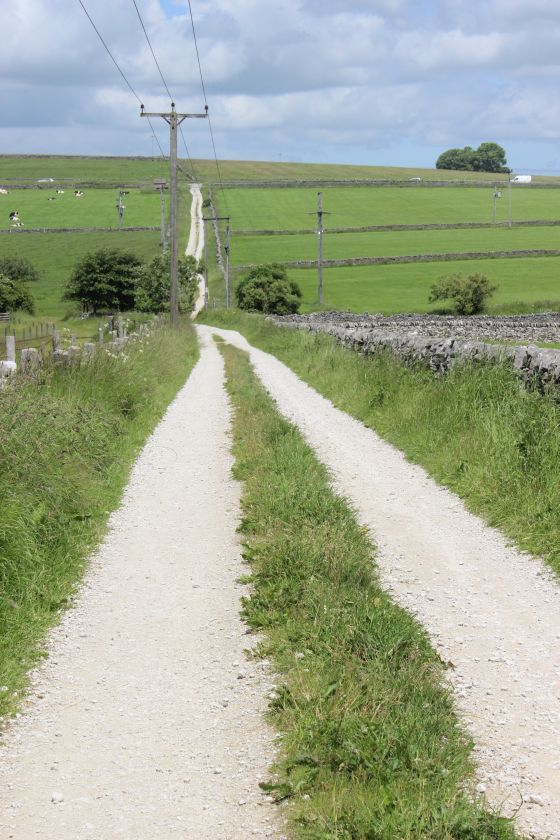
From Hurdlow station you walk up to the road junction by the Royal Oal Pub then turn right and walk a short distance to here the incline crossed the road then walk up over the field to the south side of the
actual summit. Remember that you are on private land.
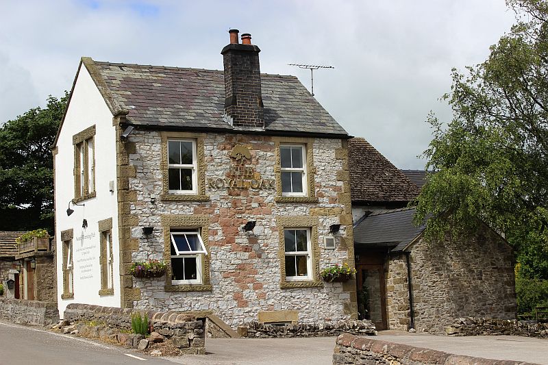
The attractive Royal Oak building looks very inviting. Sadly, I didn't have the time to sample a brew.
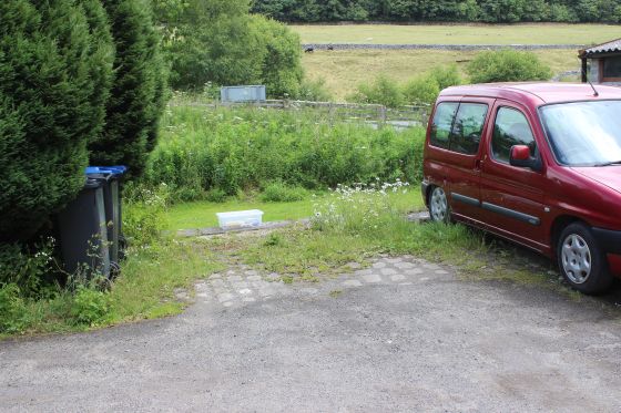
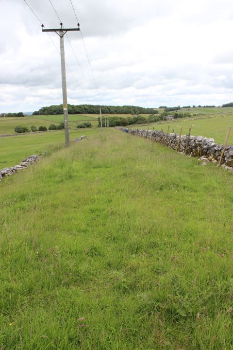
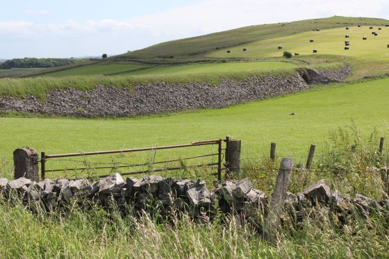
Left: From the road a culvert on the newer track bed. The grassy bit behind the stone dyke is the incline. Right: A wider view with an old farm gate by the road.
Two photos of the Hurdlow Incline as it rose up from the station site towards the road. I don't know if this was a level crossing or if it ran below the road at this point.
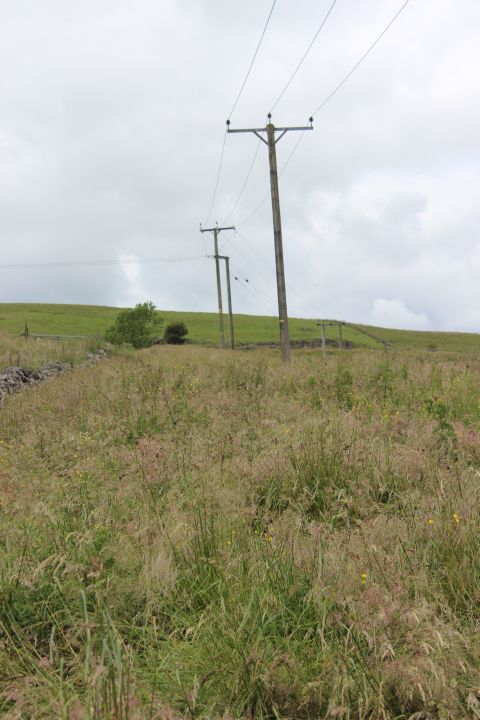
Left: The line of electric poles follow the incline. By the site of the reservoir. Right: Looking down the incline towards the road and the station.
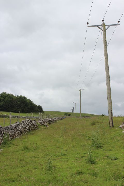
This spot reminds me of the Hatton Incline at Newtyle, where the electric poles also run up the side of the track bed.
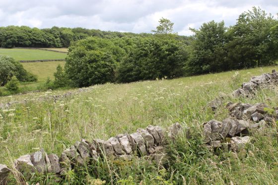
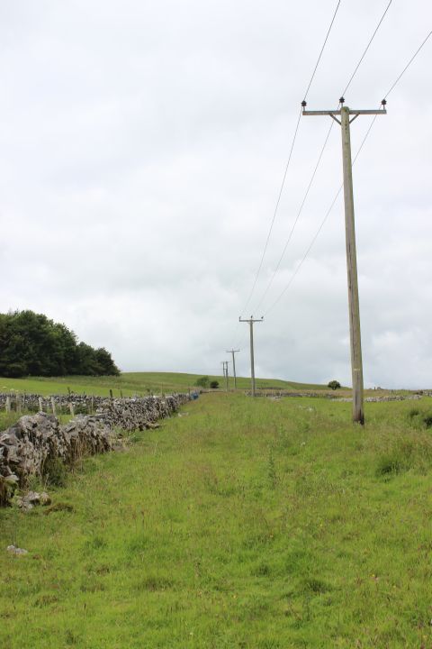
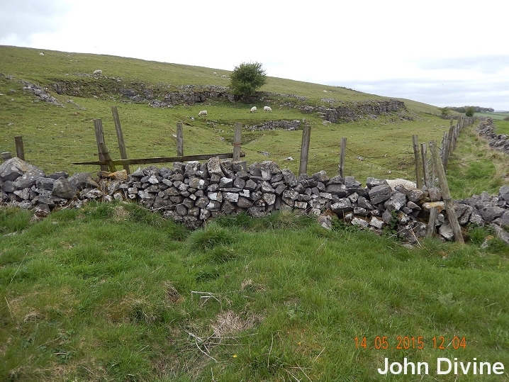
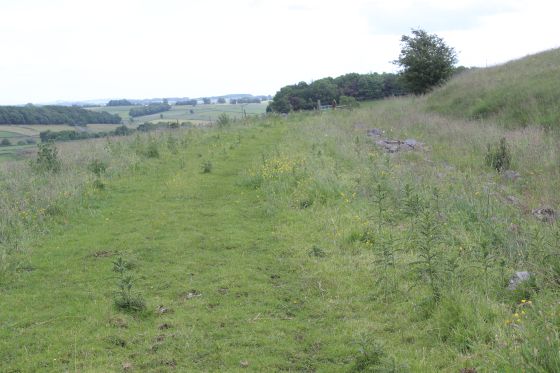
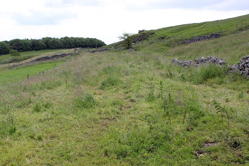
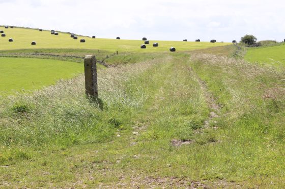
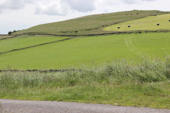
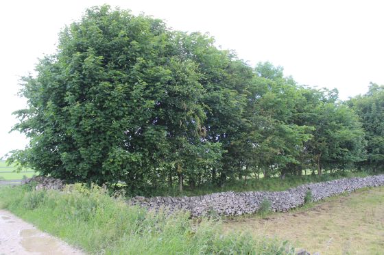
Left: From approx. half way up the incline, looking down to the station site. Right: The way to the summit is walled off at this point. The summit is by the trees seen in the distance up ahead.
The overgrown track bed within the walled off area.
Left: A zoomed shot looking towards the summit. The line turned at a right angle at the top. The stone cutting is seen running to the right
where the water wagon ramp stood. Right: A final look down the incline towards Hurdlow station site.
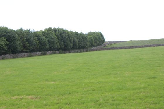
As this was as far as I could get on the south side of the summit I continue northwards towards Dowlow reversing the direction in which I walked from Dowlow to the north side of the incline
summit on the 27th June 2016. I also had to walk the country road around the north end of the track bed as it was not possible to walk over the track bed from that point due to it being
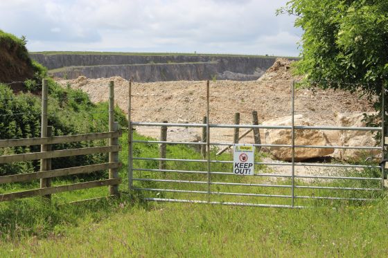
heavily ovegrown with trees and also being fenced off for a half mile or so. We start off from the fenced off section on the north side of the incline summit.
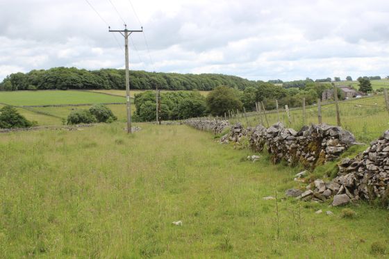
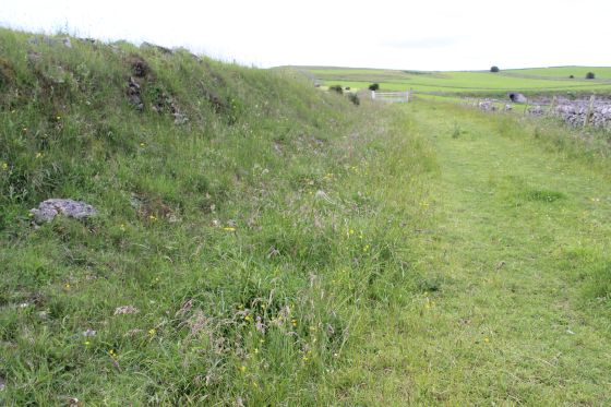
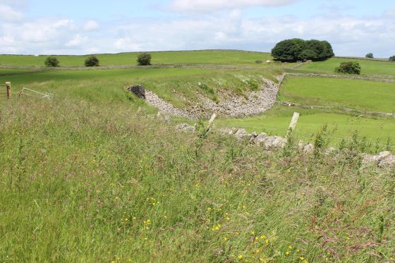
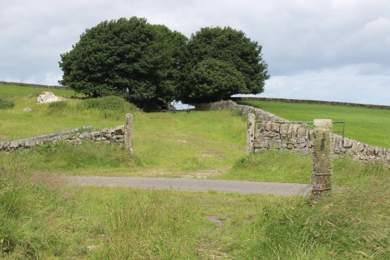
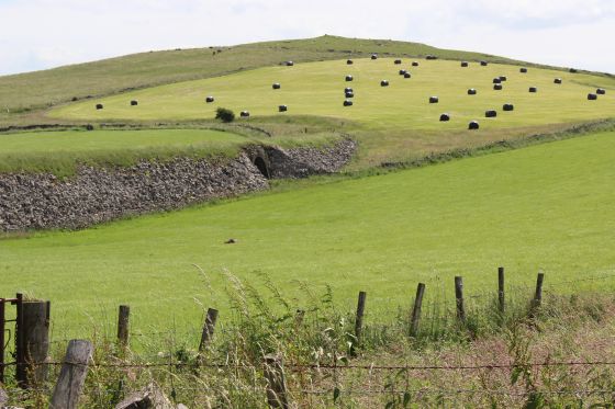
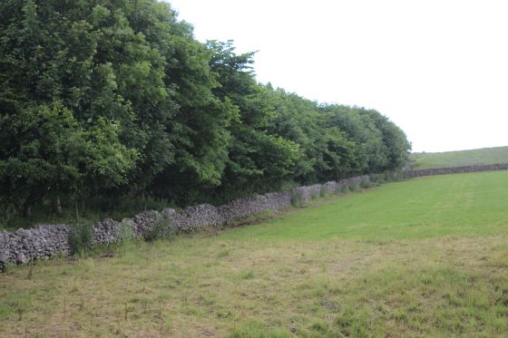
Left: The fenced off section that stops you reaching the actual summit and site of the engine house. Right: You can see the incline dropping down to Hurdlow station site by following the electricity poles.
The south side of the summit and engine house site. Reverse view to above left.
Hurdlow Incline summit and Engine House site in May 2015. My thanks to John Divine for allowing me to use these two photos.
I tried to get to this spot on two occasions, from both the north and south sides but it was blocked off to me and there numerous
Sheep grazing on the site. This is demonstrated by the upper photograph. There is nothing left of the engine house but some of
the fill-in is probably stone from the building. The incline and the engine house were abandoned in 1886.
A cropped section from a full sized photograph. It shows the incline embankment coming in from the left and that the Sheep are grazing at the site
of the Engine house.
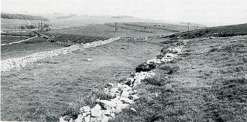
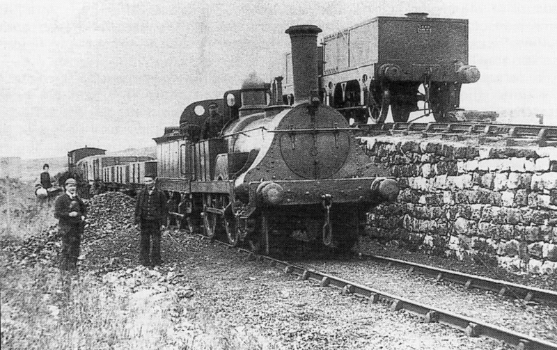
Hurdlow Incline and Top 4th July 1967. The engine house stood in the dip to the far right. The incline drops down to the left. There had been
a tight curve at the summit to line up with the line running northwards. (John Marshall).
.JPG)
.JPG)
Reverse views at the spot where I was unable to get to the engine house site.
.JPG)
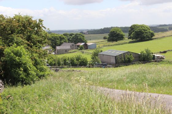
Left: A view from thew track bed down towards Hudlow station site. Right: Heading back towards the country road.
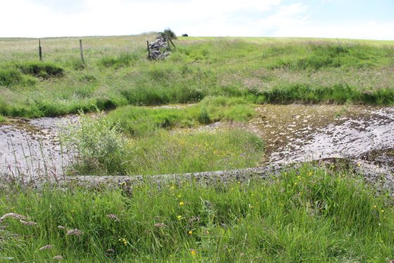
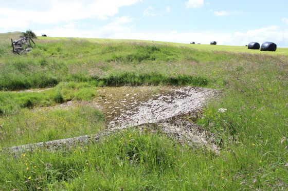
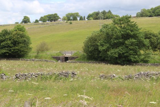
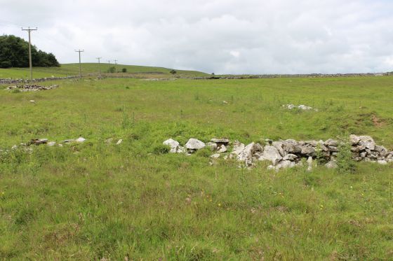
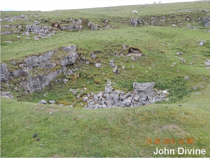
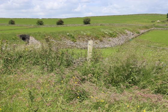
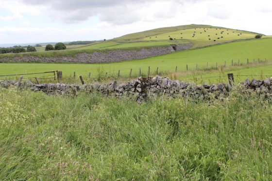
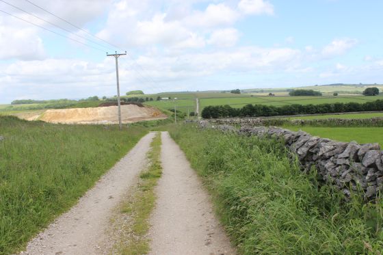
I don't think this has anything to do with the railway but probably a farm reservoir. You see a number of these around Derbyshire. They are concrete bowls. It is also seen on Google Earth. The railway had it's
own reservoir down the side of the incline and there was also a water tank wagon ramp at this spot.
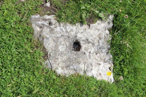
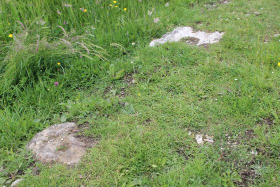
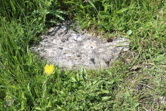
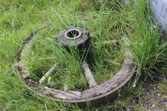
Left: A single stone sleeper is seen buried in the grassy track bed. Right: Two more stone sleepers.
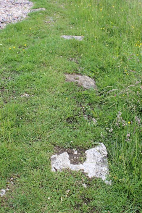
Three stone sleepers in a row. Interesting in that the have layn there unused since 1896
and have been there since the 1830's.
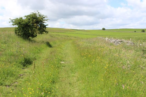
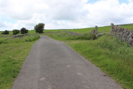
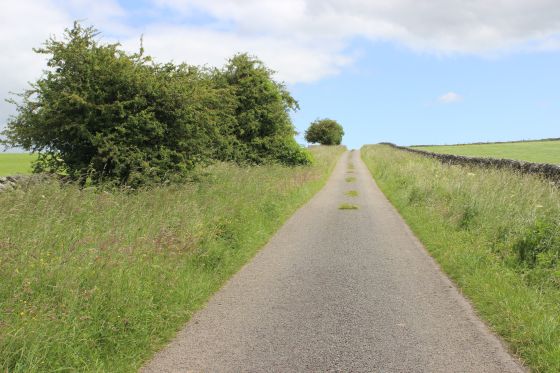
Heading back towards the country road and Dowlow.
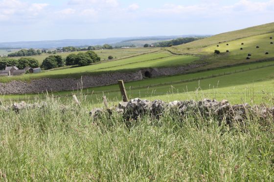
Looking down from the 1886 track bed to the newer track bed. Just to the north of Hurdlow station site.
Left: I am sure this is the site of the water wagon ramp. All that remains of the ramp is the stony surface to the right of the ground base. Looking back towards the engine house, as in photo below.
Right: Looking towards Dowlow.
Hurdlow Incline between 1800's. It's a shame that the ramp has been demolished. Interesting that in such a wild place there is a passenger! Was
shegetting on or getting off! And, where would she be going or have come from. All that there is around is a couple of farms down the long lane.
The only place for her to sit was in the brake van.
(Author unknown).
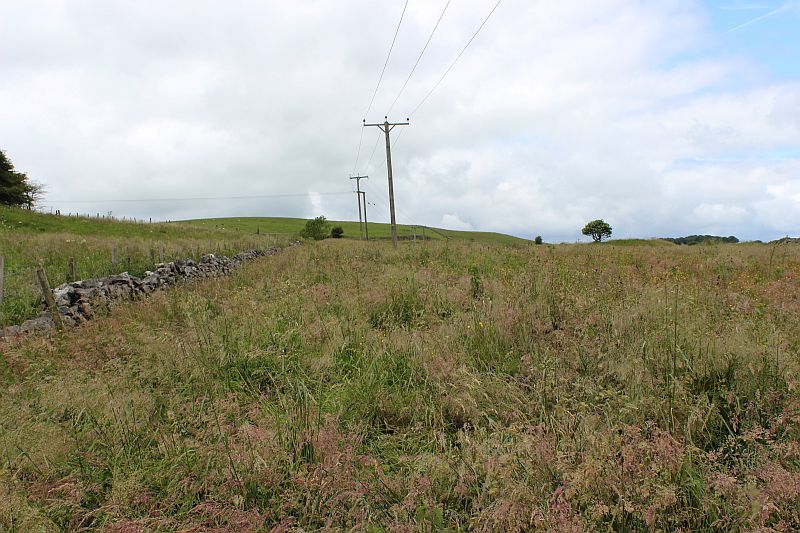
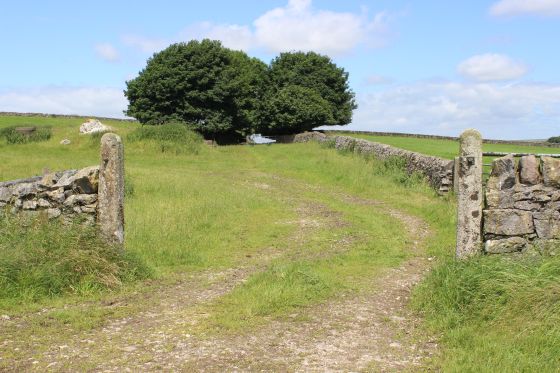
Looking back towards the summit.
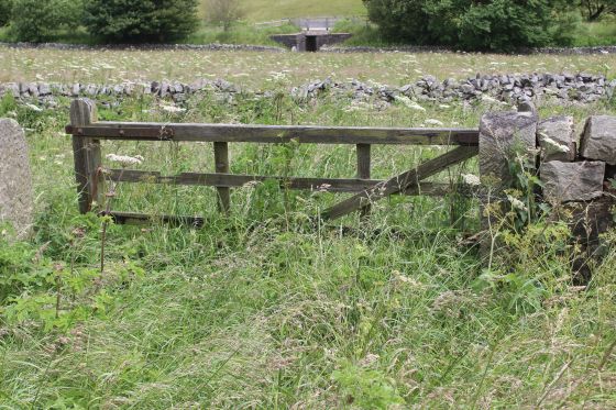
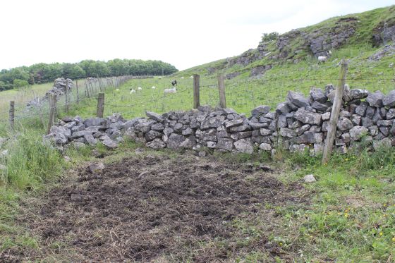
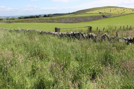
Left: This is one of two fences you have to climb over, which reminds you that you are on private land. If there are any animals grazing you should not go there. Use some common sense and some respect for
that fact. Right: The stone sided embankment towards the road crossing.
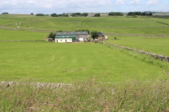
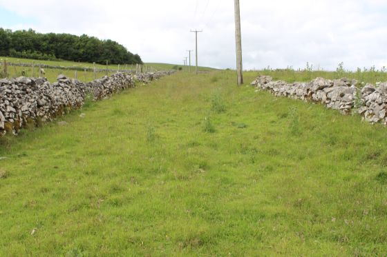
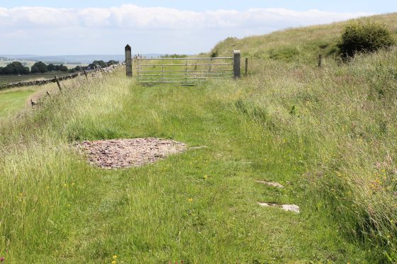
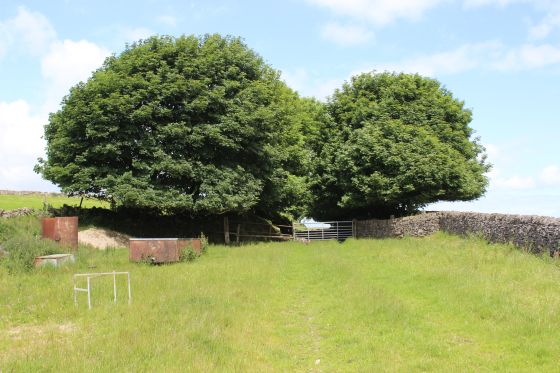
Left: The gated way. Looking southwards. As it is easily passed it may simply to stop any motorised vehicle from using the track bed. Right: A farm scene from the track bed, looking eastwards.
Left: View eastwards from the track bed. Right: Towards the country road.
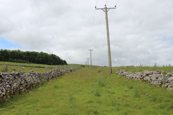
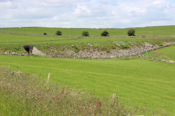
Left: The stone faced embankment with the farm access tunnel. Right: Another stone sleeper on the track bed.
Left: The stone faced embankment once again. Right: On the stone embankment. The second gate that you have to climb over. Again, consider that you are on private land.
These probably belong to the land owner.
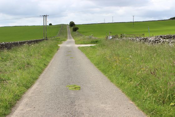
Arriving at the road crossing, which I gather had been a bridge over the country road in
railway days. A gate is seen on the opposite side of the road. This is as far as you can go.
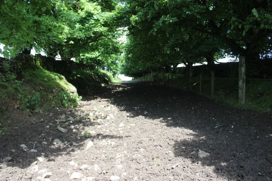
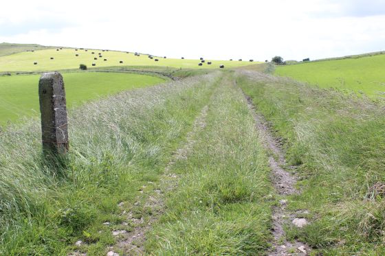
The track bed up to Dowlow is unpassible due to cattle grazing and the final section
to where the track ends at Dowlow is heavily wooded.
Back at the country road where this may have been a level crossing or possibly a bridge over the road.
It is the hump in the road that makes me tink that there had been an over bridge here that has been
removed and the road built-up to what was track level.
From the crossing point. Left: Towards Dowlow. Right: Towards Hurdlow.
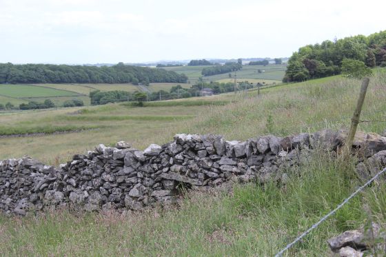
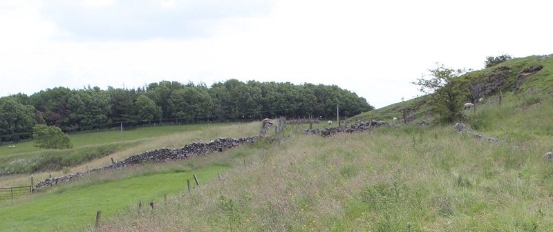
Left: The track bed to Hurdlow summit is seen snaking it's way across the hillside by the trees to the far left. Right: The country road that leads down to Hurdlow., from Earl Sterndale.
Left: The track bed on the north side of the country road. It is fenced off at this point. t: From the same spot on the left, west side of the country road, the track bed running towards Hudlow summit.
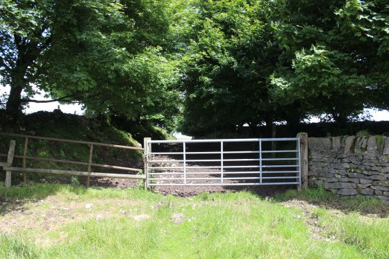
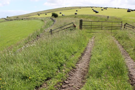
Left: At The farm gate. Any thought of climbing over the gate and walking the track bed was quickly dismissed. The track way has been churned up into a deep smelly mud by years of cattle grazing.
The fact is that it is private property and cattle grazing therefore it is a no-go area and if you did get permission to go there you would need a good pair of Wellies and hope that you don't slip over.
It's a shame as I would have loved to have walked through to the end of the track bed at Dowlow.
Tempting, but, No! Very muddy & smelly (Cattle use)
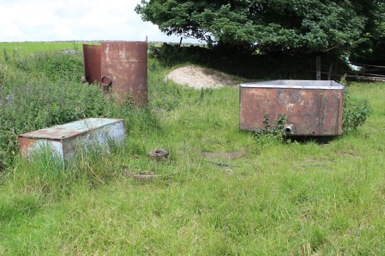
Some old farm implements around the gated track bed.
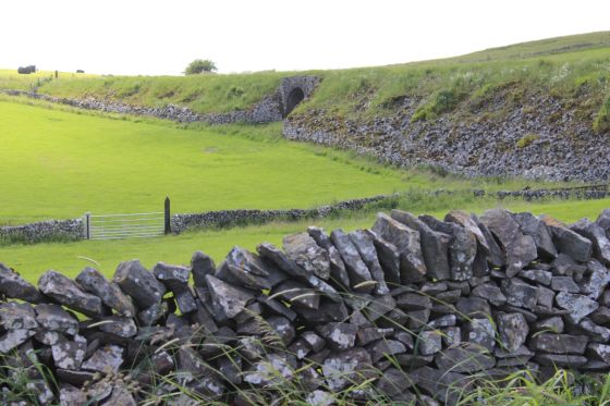
Left: The south face of the stone-faced embankment and the farm access bridge. Right: The crossing looking north with then track bed from left to right.
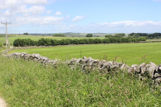
Left: The Hurdlow-Earl Sterndale country road.
Left: On the south road from Earl Sterndale, towards Hurdlow. Right: Same spot but looking towards Earl Sterndale, with the junction for the lane going off to the righ towards the A515
at Sterndale Moor. This is the lane that the ends of the two track beds are and where I am heading.
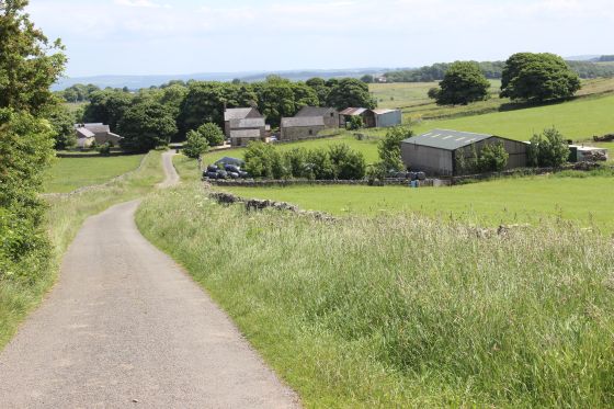
Right: Back onto the cross-country lane at Dowlow, with the old track bed within the trees to the right.
Dropping down the lane towards where both track beds end. With the junction with the A515 in
the distance.
.JPG)
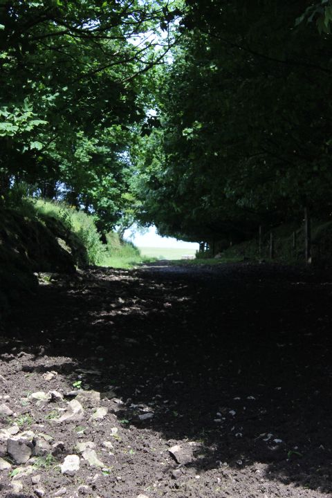
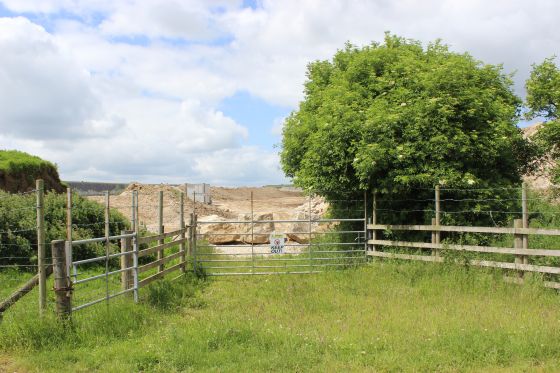
Left: The heavily wooded track bed of the original route coming in from Hurdlow summit and ends at the lane to the left.
Right: Approaching the end of the original track bed at Dowlow.
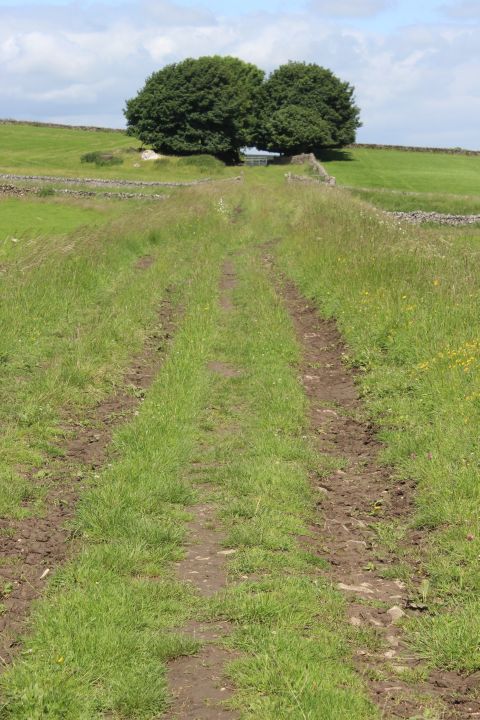
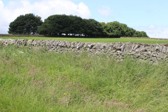
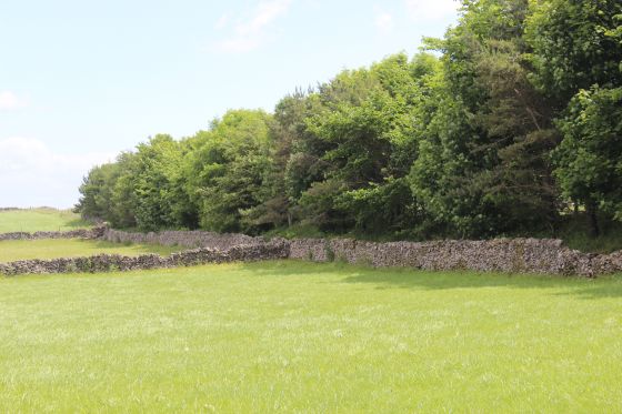
The trees grow along the track bed between Dowlow and the summit at Hurdlow.
Both. On the north side of the lane the original track bed disappears below Dowlow Quarry to the north.
Left: End of the original track bed from Hurdlow incline. To the right the track bed disappears under Hindlow Quarry.
Right: East side of the old track bed is overgrown with trees.
End of the track bed. Now a solid wall of trees blocks what was once a clear-way
for trains.
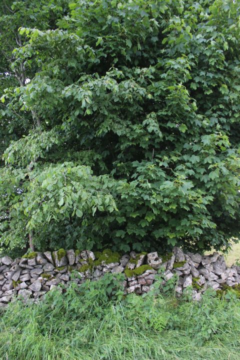
West side of the track bed, showing the density of the trees.
The Dowlow lane where the two track beds end. The trees running horizontally across the scene marks
the end of the newer track bed and High peak Trail from Cromford. On the right hand side the present
working railway to Buxton begins. The lane leads up to the A515, which is just south of Sterndale
Moor village.
This is where my walk ended on this occasion and went up to the A515 and got a taxi back into Buxton.
=======================================================================================
(New July 2016) HURDLOW TO QUARRY Y POINTS SITE
===================================
My Thanks To.....
John Neave for his kind permission to use a number of his 1960's photographs when the railway was still in operation. Check out John's ''Going Loco'', which includes a C&HPR history. At....
http://goingloco.neave.com/
Mark Norton for the use of 1940's photos by his late father Dennis J. D. Norton. http://www.photobydjnorton.com/CHPR_Menu.html#Links
Reading: The Cromford & High Peak Railiway by John Marshall. Published by Martin Bairstow. Printed by The Amedeus Press 2011.
The Cromford & High Peak Railway by Alan Rimmer.
Other Railway Walks....
The Dundee & Newtyle Railway The first passenger railway in Scotland opened in 1831, which had three inclines operated by stationary steam engines. The main source of income was from
the numerous stone quarries in the area and local farming produce. Passenger numbers were always sparse.
The inclines were abandoned in the mid 1800's by new deviations that allowed through locomotive running.
The line also included the Dundee Law (Hill) tunnel built at 300ft above the City. Both the north & south portals of the tunnel are buried below modern housing schemes.
Passenger services ended in 1955 and the line closed completely in the mid 60's.
Unlike the C&HPR none of the Engine houses were preserved. The inclines can still be followed but sections have been back-filled or ploughed over.
This web site tries to cover as much as possible.
Boddam To Ellon Branchline Built by the GNSR in the latter part of the 20th century. The passenger service only lasted until 1934 but goods remained up to total closure in 1949.
The GNSR built a large Golf course and Hotel at Cruden Bay, with an electric tramway between the station and hotel. All that remains today is the Golf course.
Dyce To Fraserburgh and Peterhead Walks. Walking the whole of the 50 odd miles of the Ex GNSR branch from Dyce Jctn to Fraserburgh and Peterhead, via Ellon and Maud
Junction that closed between 1967 and the latter 70's. I worked over the routes as a secondman at Kittybrewster Loco Depot in the 60's
and enjoyed seeing the route and old stations that are still to be seen.
Other web pages....
Kittybrewster Memories Kittybrewster Loco Depot, Aberdeen.
Tivoli Memories The Tivoli Theatre, Aberdeen.
Hosted by www.theatreorgans.com